TREE CANOPY LAB
One of the problems of climate change for our cities are the UHI, urban heat islands: metropolitan areas a lot warmer than the rural areas surrounding it. According to the Environmental Protection Agency, the annual air temperature of a city with 1 million people can be 1–3 degrees Celsius warmer than its surroundings. One of the solutions we have to fight this plague is very simple, the tree (or rather, a lot of trees).
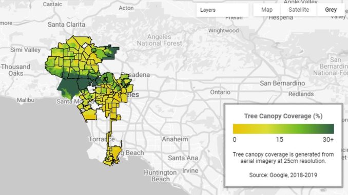
Google knows and recently unveiled a new tool that could help cities keep their residents cool by mapping out where trees are needed most. The new tool is Tree Canopy Lab and uses aerial imagery and Google’s AI to figure out where every tree is in a city. Environmental Insights Explorer is the company’s research center dedicated to the application which puts that information on an interactive map along with additional data on which neighborhoods are more densely populated and more vulnerable to high temperatures. The hope is that planting new trees in these areas could help cities adapt to a warming world and save lives during heat waves.
Google piloted Tree Canopy Lab in Los Angeles and data on hundreds more cities is on the way. Urban planners interested in using this tool have the opportunity to contact the company through a form published alongside with the announcement of this new tool. With Tree Canopy Lab we can see how data and technology can help us: the tool is not only interesting but useful for a more sustainable urban planning.
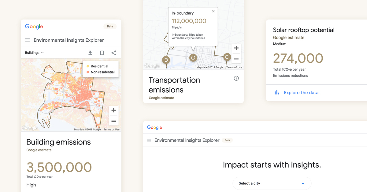
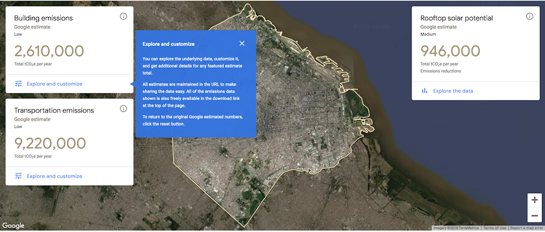
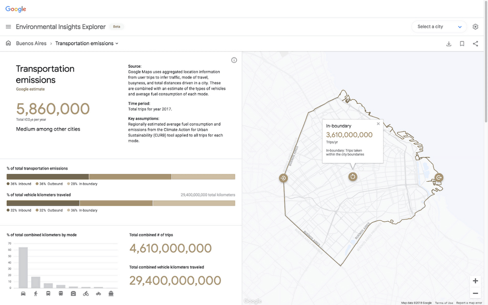
Alongside Tree Canopy Lab, Environmental Insights Explorer uses exclusive data sources to provide insight into building and transportation emissions, rooftop solar potential, and air quality. Have a look!
C